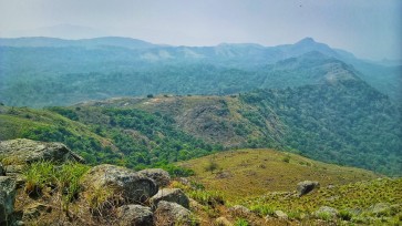
Ramakkalmedu Travel Map
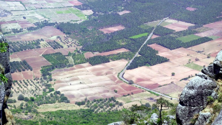
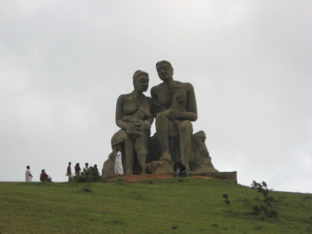
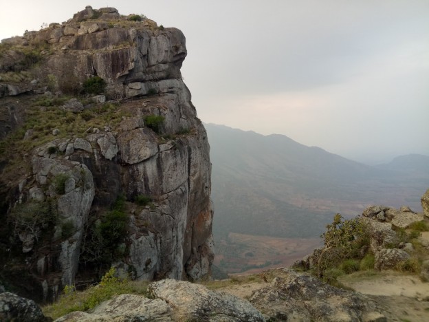
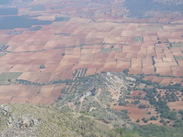
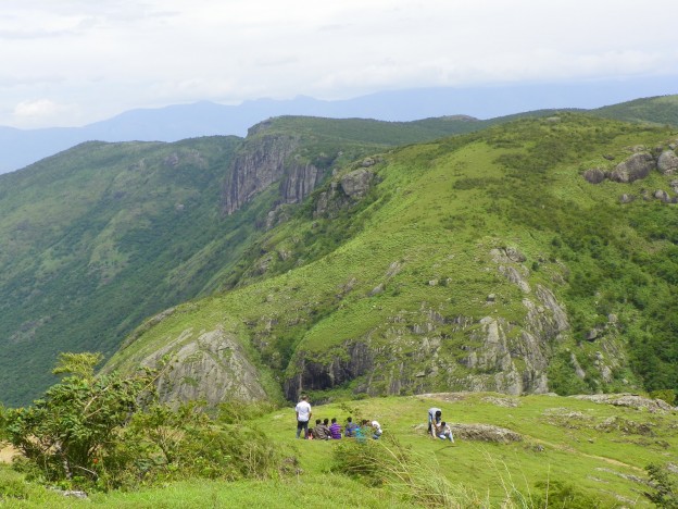
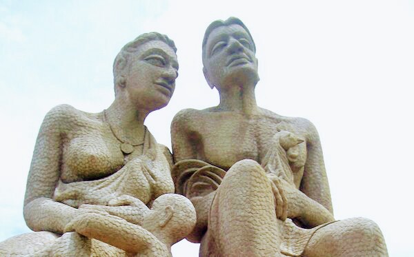
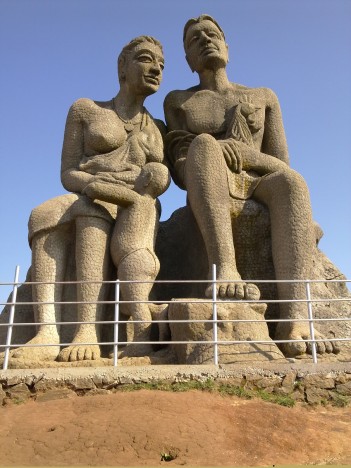
Ramakkalmedu is a hill station located in the Idukki District. It is situated on the Kerala-Tamil Nadu state border and is home to numerous attractions, such as the Periyar Tiger Forest, Munnar, Kuttikanam, Parunthumpara and spice farms. The name of this site is a combination of the three words 'Ram, 'Kal' and Medu, meaning Lord Rama, rock and land, respectively. It is believed that Lord Rama visited this place when he was searching for his wife Sita, who was abducted by the king of Lanka, Ravana. During his search, Lord Rama set foot on the tallest rock to look for Sita. This same rock was named as Ramakkal, which eventually came to be known as Ramakkalmedu. This place also provides beautiful views of the sun rising in the eastern hills and setting on the western mountains. The mountains located adjacent to the site are surrounded by thick evergreen forests that serve as a natural habitat to various birds and animals. It is recorded that the wind effect of this site is the maximum in Asia as the wind gusts into the hills at a high speed and at very high pressure. The average speed of the wind is around 25 km/hour. Situated at an altitude of around 3560 ft from the sea level, the area is popular for trekking, hiking, paragliding and camping.
Other Places To Visit In Idukki
Kerala, India
