Daulatabad Fort Travel Map
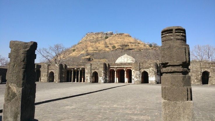
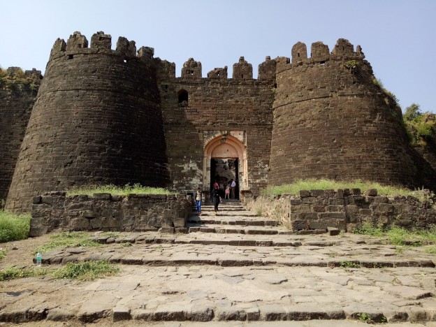
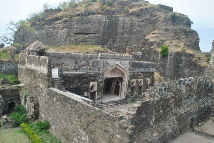
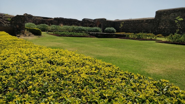
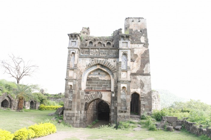
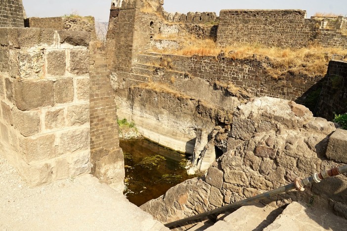
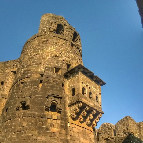
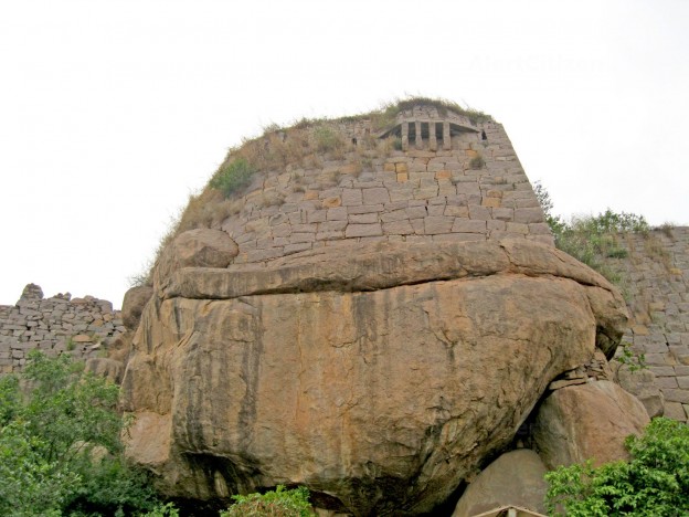
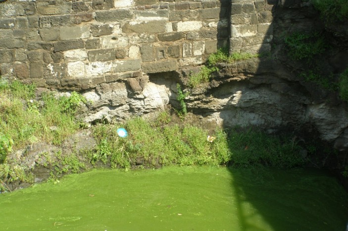
Daulatabad Fort is situated around 13 km from Aurangabad city on a pyramid-shaped hilltop. The fort forms a portion of the Daulatabad city, which was earlier known by the name of Devgiri. Bhillam Raja of the Yadava dynasty, established the city of Devgiri in 1187 AD. Sultan Muhammad-bin-Tughlaq of Delhi, renamed it as Daulatabad, which means 'The city of fortune.' The main attractions within the fort of Daulatbad are the Chini Mahal or Chinese Palace, Chand Minar Tower and Jami Masjid.Nestled at an elevation of 60 ft above sea level, the Daulatabad Fort is bordered with thick walls, spiked gates and steep graveled slide ways. To safeguard the fort, there exists a trench, which is 40 ft deep with mechanical drawbridges and was supposedly filled with crocodiles. The fort is also equipped with a secret coiled network of tunnels and passages. Moreover, there is a strong wall stretching for 5 km that makes Daulatabad fort one of the well-secured forts. The fort remains open on all days and allows visitors up to 6:00 pm.
Other Places To Visit In Ghrishneshwar
MH SH 22, Daulatabad, Maharashtra 431002, India
Opening Day
Monday: 8:00 AM – 6:00 PM
Tuesday: 8:00 AM – 6:00 PM
Wednesday: 8:00 AM – 6:00 PM
Thursday: 8:00 AM – 6:00 PM
Friday: 8:00 AM – 6:00 PM
Saturday: 8:00 AM – 6:00 PM
Sunday: 8:00 AM – 6:00 PM
