Kannur Travel Map
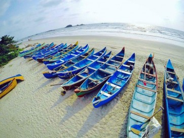
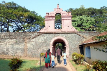
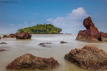
Kannur, popularly known as Cannanore, is located at a distance of around 24 km from the destination. The town was named Cannanore during the colonial rule. It is often referred to as the Land of Looms and Lores; and has attractions like beaches, forts, religious sites, historical towns and villages. Fort St. Angelos is the major attraction of Kannur and was constructed by Don Francisco De Almeida in 1505. Popularly known as the Kannur Fort and Kannur Kotta, the fortress has been under the rule of many dynasties and kingdoms. The Baby Beach is another prominent attraction located in vicinity of the fort. The Muzhappilangad Beach, also called as the swimmer's paradise, is the only drive-in beach of Kerala, having a driving length of around 4 km. The Payyambalam Beach, Mopila Bay, Meenkunnu Beach and Kizhunna Ezhara Beach are also often visited beaches. The Sundareswara Temple, dedicated to Lord Shiva, is an important temple of Kannur. The Kottiyoor Shiva Temple, also known as the Dakshina Kaasi, is another major shrine dedicated to Lord Shiva. Some of the other religious attractions of the destination are the Oorpazhassi Kavu Temple, Kadalayi Sreekrishna Temple, Sree Raghavapuram Temple and the Sri Mavilayikkavu Temple. The Sree Mookambika Temple, Ezhimala, Aralam Wildlife Sanctuary, Malayala Kalagramam, Chavachi Waterfalls and Pazhassi Dam are few other important attractions.
Other Places To Visit In Thalassery
Kerala, India
