Thalassery Fort Travel Map
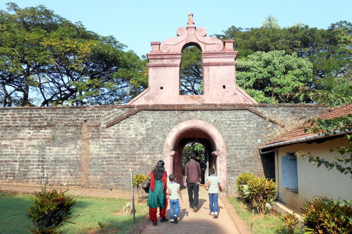
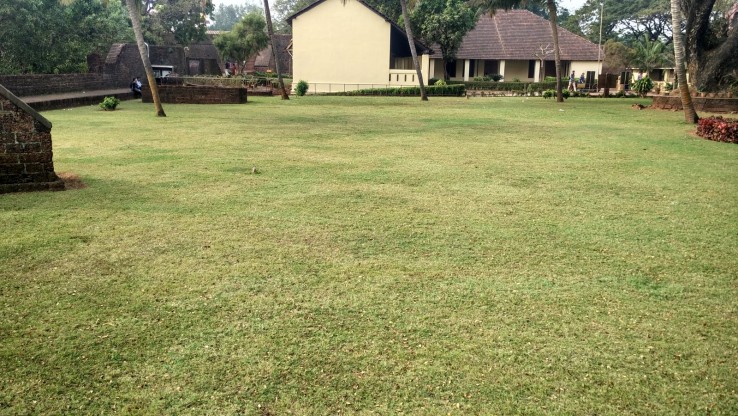
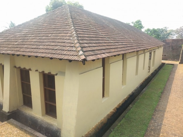
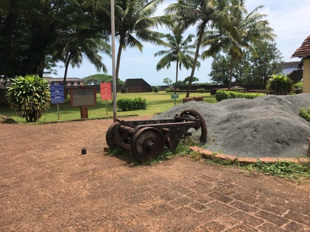
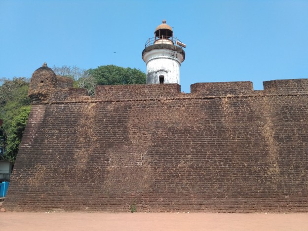
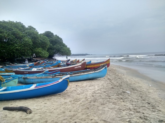
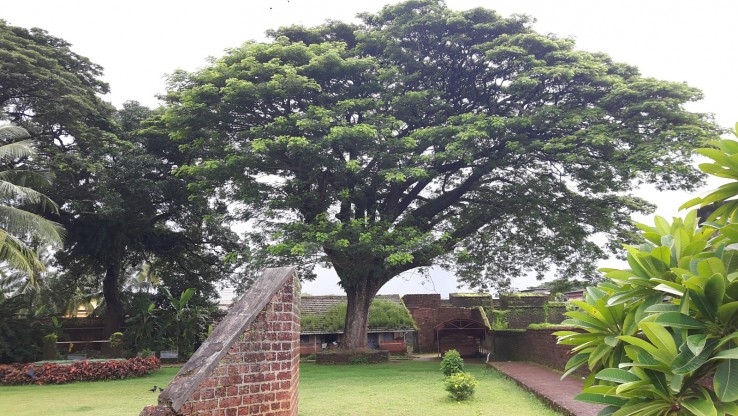
Thalassery Fort stands on a rocky cliff that lies on the banks of the Muzhappilangad Beach. It was constructed by the British East India Company in the 18th century. The fort was developed with an aim to establish a strong foothold in the Malabar Coast. The square shaped fort has huge walls and intricately carved doors. It is believed to have secret tunnels leading up to the Arabian Sea. It is believed that in 1781, Hyder Ali, the King of Mysore, tried to capture the fort but was unsuccessful. Tipu Sultan, son of Hyder Ali, also tried to conquer the fort during his quest to control Malabar. By the end of the Third Anglo-Maratha War, the region, along with the fortress, was brought under the reign of the colonial rule. The foundation of the fort comprises laterite blocks and loop holed walls that are supported by strong bastions. The entrance at the top of the giant wall is adorned with various mural paintings that date back to the 18th century. The information gallery inside the fort exhibits pictures of burial caves, monuments, forts and ancient paintings. The Thalassery Fort has been preserved by the Archaeological Survey of India (ASI). The Sub Collector's Bungalow, Brennen Cemetery and St. Rosary Church are some of the popular attractions in vicinity of the fort.
Other Places To Visit In Thalassery
Near Thalassery New Bus Stand, Kanyakumari - Panvel Highway, Pilakool, Thalassery, Kerala 670103, India
Opening Day
Monday: 8:00 AM – 6:00 PM
Tuesday: 8:00 AM – 6:00 PM
Wednesday: 8:00 AM – 6:00 PM
Thursday: 8:00 AM – 6:00 PM
Friday: 8:00 AM – 6:00 PM
Saturday: 8:00 AM – 6:00 PM
Sunday: 8:00 AM – 6:00 PM
